Alice's Tour Pictures for Boston Topographical History Course

Landmaking
Tours
Central Waterfront
Bulfinch Triangle
West End
Beacon Hill Flat
Back Bay & South End
Fens, Fenway & Bay State Rd.
South Cove
South Bay & South End
South Boston
Dorchester
East Boston
Charlestown
At the turn of the nineteenth century, population pressures required land for housing and speculators bought up land in Dorchester Neck for development. At its annexation to Boston, ten families living in Dorchester Neck became the first residents of South Boston. The South Boston Bridge, completed 1804 and built along the line of Dover Street, was the first connection to the Boston peninsula at Front Street on the Neck. The first major landmaking on South Boston's north shore, the Boston Wharf Company's wharf demarcated the eastern side of today's Fort Point Channel. The Moakley Federal Courthouse now stands on the Fan Pier which was named for the railroad tracks that covered the combined Piers 1 and 2 at the entrance of the Fort Point Channel. Built 1917-1919 as part of the South Boston Flats project, the Dry Dock is one of the 5 largest dry docks on the East Coast and was formerly owned by the U.S. Navy. The U.S. government also owned Castle Island and allowed it to be incorporated into Pleasure Bay, finally deeding it to the State in 1962.
Other streets comprising this area are: Dorchester Avenue; Broadway; Day Boulevard; Foundry, West First Street. Major landmarks and buildings in this area and its vicinity include the Castle Island, Carson Beach, Moakley Federal Courthouse, the Children's Museum, Fort Point Channel, Fort Point Postal Annex, South Station, Anthony's Pier 4 Restaurant, the Boston Design Center, the Fish Pier, South Boston Convention Center, and the World Trade Center.
Congress Street
I am the sole person responsible for the content of this photo gallery site. Please contact me if I have made any mistakes in citing a photo's location or detail.
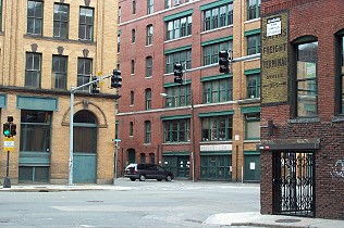
Congress Street
extended
A Street meets up with Congress Street which by 1895 had been extended from
Downtown into South Boston as part of the South Boston Flats Project.
This view looks from A Street to the intersection of Congress and Pittsburgh
(with parked car) Streets.
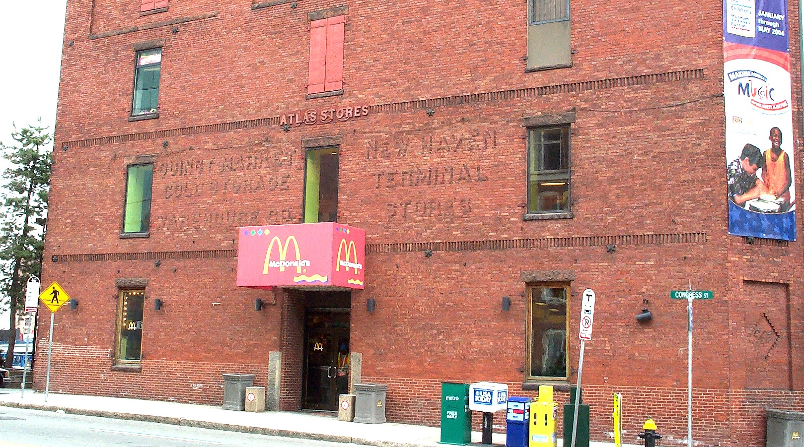
Converted Warehouse
along Ft. Point Channel
"Atlas Stores" is affixed over the completion year "1888" for this warehouse
building, which is labeled for the "New Haven Terminal Stores" and "Quincy
Market Cold Storage Warehouse". This building now houses the Children's
Museum and a McDonald's restaurant.
Drydock Avenue
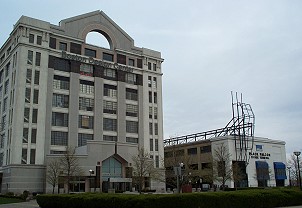
Boston Design Center &
Black Falcon Terminal
These buildings stand on the north side of the Reserved Channel. The
Design Center is a former supply storage building built by the U.S. Army
during World War I.
Fan Pier and HarborWalk
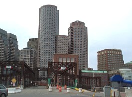
Northern Avenue Bridge
Laid as part of South Boston Flats project, this bridge (lower half, center)
on Northern Avenue provide a direct-connect access between Boston Proper and
new streets and docks to be created in the eastern portion of the flats.
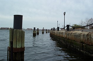
Seawall at head of Fan
Pier
This view shows the heavy seawall built at the head of the Fan Pier, so
named for the "fanning out" layout of tracks which terminated on this pier.
The new Moakley Federal Courthouse occupies this pier.
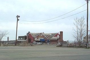
Anthony's Pier 4
Restaurant
This famous restaurant is the only building standing on Pier 4.
Although a Pier 3 was planned, it was never built. The owner of Anthony's
Pier 4 has financed some of the filling of the space (now a parking lot!)
that would've been Pier 3.
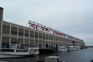
World Trade Center
Originally called the Commonwealth Pier, this facility served as the entry
and departure point for passenger ship service into Boston in the late
nineteenth and early twentieth centuries.
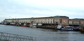
Fish Pier
Another project built in the early twentieth century to encourage port usage
in Boston, the Fish Pier is still an active receiving point and market for
daily catches and is also the home of the No Name Restaurant.
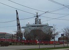
Ship in Dry Dock
One of five large dry docks on the East Coast, the South Boston dry dock was
built in 1919 as part of the South Boston Flats project. The U.S. Navy
bought and used this dry dock for many years before turning it over to
MassPort in 1969.
Foundry Street
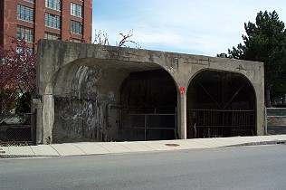
Red Line Access
Across from the main MBTA train yard near Broadway, this appears to be a
street access point to the tunnel connecting to the Red Line's Broadway
Station.
Haul Road
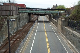
Haul Road at Broadway
Looking down from Broadway, this road runs parallel to tracks laid and used
by the Boston, Hartford & Erie Railroad. In the 1860's the company's
track bridge ran over tidal flats and crossed the Fort Point Channel into
Downtown Boston at the head of the Boston Wharf Co.'s wharf.
Reserved Channel
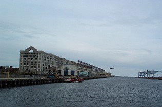
View towards Harbor
From the Summer Street bridge at the end of the Reserved Channel, the Boston
Design Center, the Black Falcon Terminal and the cranes of the Conley
Shipping Terminal are visible.
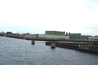
View towards Harbor
Continued
Next to the Conley Shipping Terminal lies the early 19th century area
hosting the city's House of Industry, House of Correction and Lunatic
Asylum. Later area occupants include the Boston Elevated RR and Edison
Electric Company.
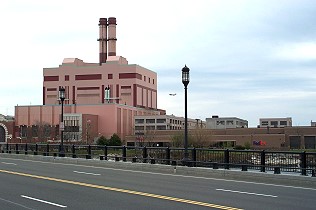
Utilities in South
Boston
South Boston hosts a number of industrial and utility facilities. Standing
next to the end of the Reserved Channel, this is a newer electrical plant
built by NStar. Camera is positioned on the Summer Street bridge
spanning the channel's end.
© 2004 Alice Kane