|
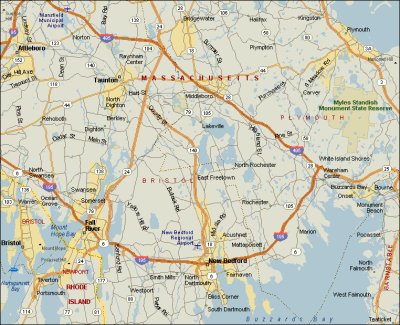
Here's a map shot of the overall area. Our airport is in the upper left of the picture. Our objective is the peninsula just south-east of New Bedford. |
|
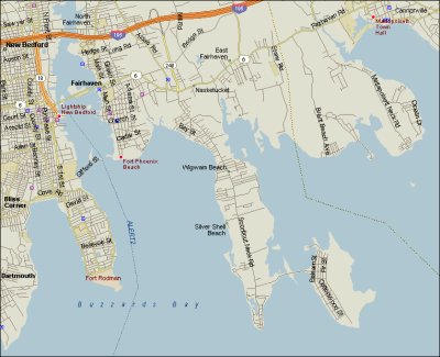
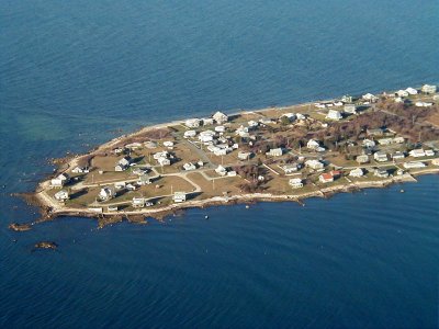
A close up of the peninsula itself. See if you can recognize the locations in the photos. |
|
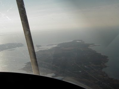
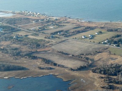
In this photo, we've just passed to the east of New Bedford. Our course is basically north to south, so you'll have to orient yourself to the map shots. |
|
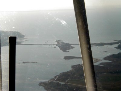
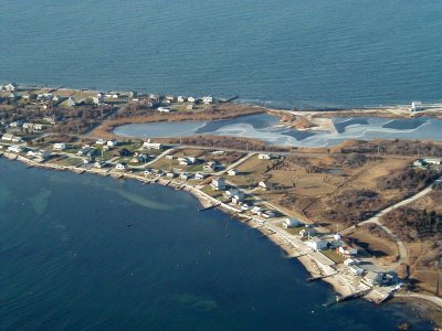
You can clearly see the causeway connecting the peninsula to Fairhavn Island |
|
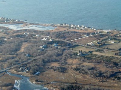
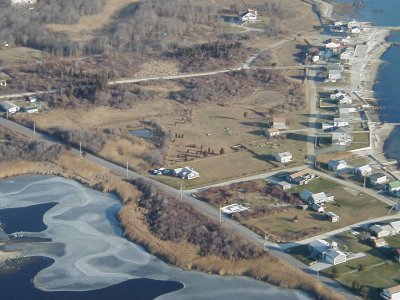
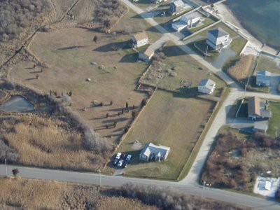
Some of the farms and homes in the center part of the peninsula. |
|
Some of the farms and homes in the center part of the peninsula. Make note of the small, kidney shaped, salt-water pond in the upper left of the photo. |
|
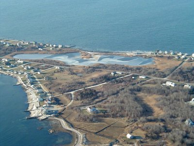
Getting closer to the salt water pond. |
|
Getting closer, still, to the salt water pond. |
|
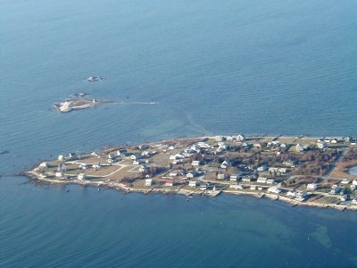
The tip of the peninsula and the lighthouse island. |
|
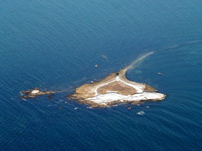
Close up of the lighthouse. |
|
Close up of the tip. |
|
Lynn Vassil's neighborhood. |
|
And, finally, a closeup of Lynn's house. |